

Insights: Stone is closer than you think

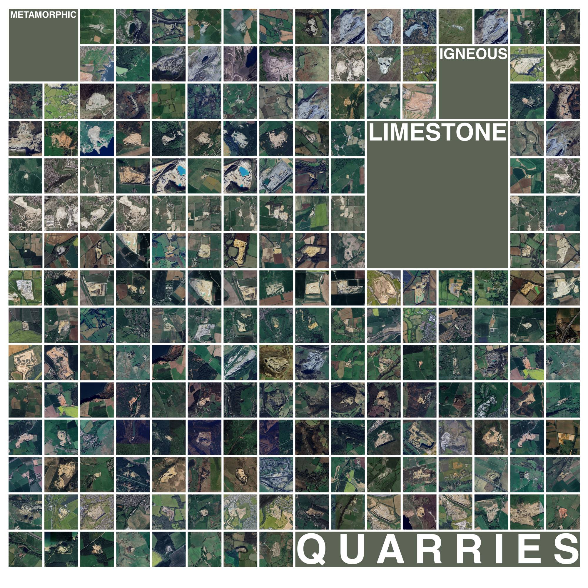
What can material mapping tell us about the next generation of new towns?
As the UK looks once again to large-scale new town development, the relationship between construction and the resources already present in the landscape becomes increasingly relevant. The third insight from architect Giulliana Giorgi’s Unlocking UK Stones research considers this relationship through a simple but revealing exercise: mapping proposed new town locations against the country’s active dimension-stone quarries. Following the first two pieces in this series, it shifts the focus from the stone itself to the infrastructure and regional capacity that could support its use. The results suggest that indigenous stone could have a more considered role in future development – provided material resources, quarrying expertise and supply chains are brought into the planning conversation early enough.
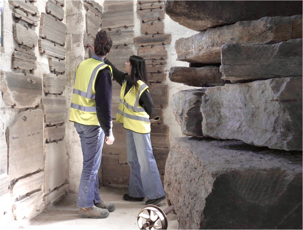
“Britain is preparing to build new towns again. At a time when the country faces both a housing shortage and the urgent need to reduce the environmental impact of construction, building at this scale presents an opportunity to consider these challenges together. As we plan where people will live, are we also asking what those places could be built from?
The Government's New Towns Programme currently proposes seven locations across England, narrowed from the twelve recommended by the New Towns Taskforce, with a combined total of roughly 190,000 homes expected over the coming years. The programme is also intended to support economic growth, supply-chain development and innovation, creating the conditions for investment in skills, infrastructure and new construction methods.
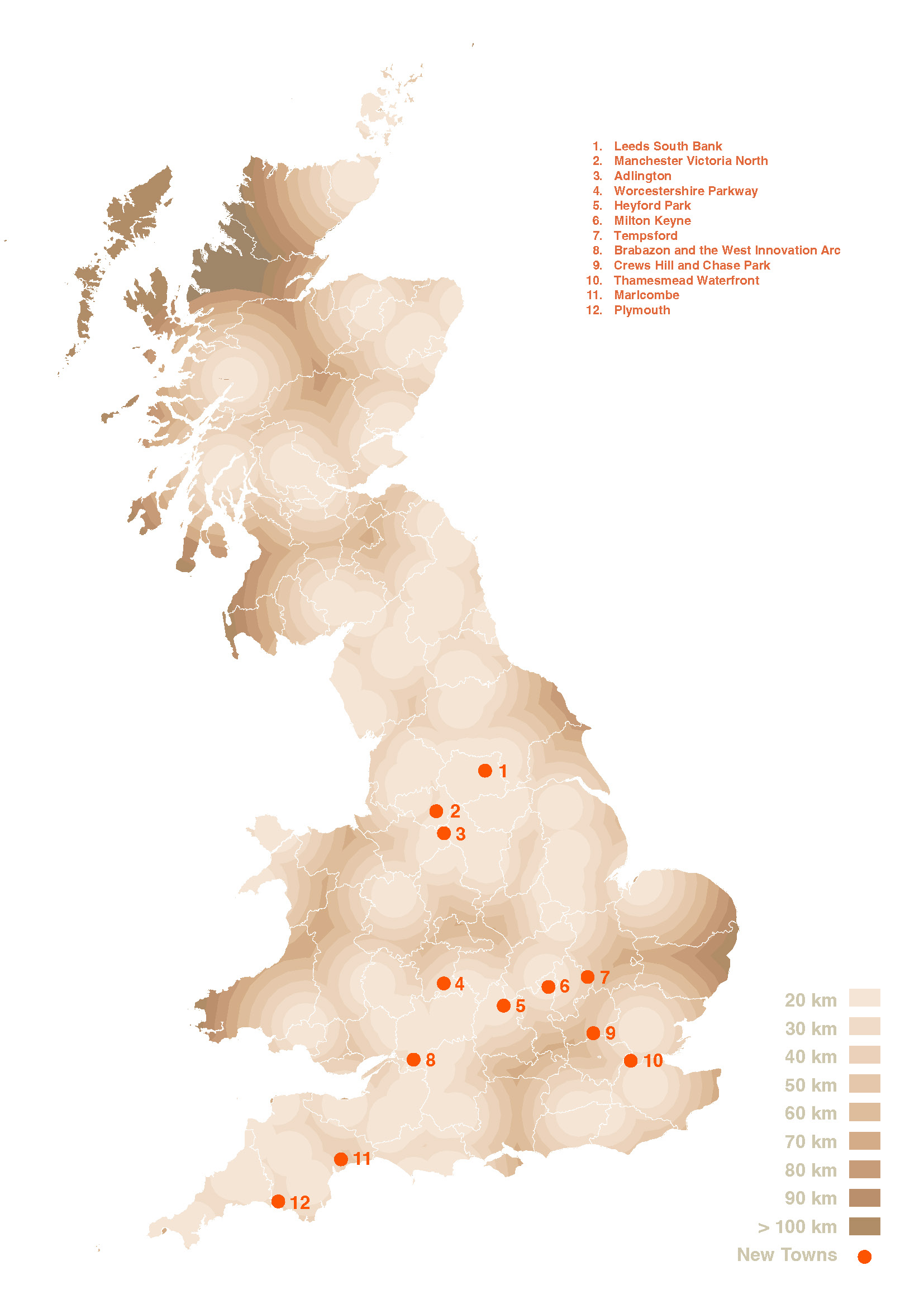
As part of our research into the potential of indigenous stone construction in the UK, we mapped the initial 12 proposed new town locations (New Towns Taskforce, September 2025) against Britain's active dimension-stone quarries, ahead of the shortlist being narrowed to seven in March 2026. Most of the proposed locations sit within 20-40 km of active quarries.
This proximity opens a conversation. It doesn't tell us which quarries could scale to serve tens of thousands of homes, or what kind of stone each could supply. What it does is make visible a relationship between where we plan to build and what already exists in the landscape around it, one that hasn't been part of the conversation so far. The map is therefore a starting point for better questions.
Minerals are not absent from the planning system. Mineral Planning Authorities already have responsibility for planning mineral extraction and safeguarding resources, and local planning authorities must have regard to mineral plans when allocating land for other development. The Strategic Environmental Assessment published alongside the New Towns consultation also considers geology, soils, materials and waste. But safeguarding a resource and planning with it are different things.
The next step is planning with these resources, not just protecting them. A quarry is more than a geological deposit: it represents skills, machinery, processing capacity and supply-chain knowledge embedded within a region. Considered alongside housing, transport, ecology and infrastructure, that capacity becomes part of a place's identity and potential.
This sits within the Government's wider industrial strategy, where construction is named a foundational industry underpinning the UK's priority growth sectors. Indigenous dimension stone isn't a strategic sector in its own right, but its place in that supply chain gives regional material industries a reason to have a seat at the table.
The New Towns Programme is a powerful test case. Development corporations are being set up to coordinate land, infrastructure and investment over the long term, across sites built out over many years. That's the kind of sustained, visible demand that could give regional quarries the confidence to invest in capacity and shared facilities, signalled early enough to plan against.
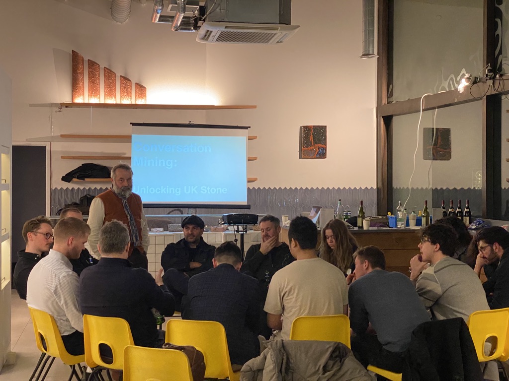
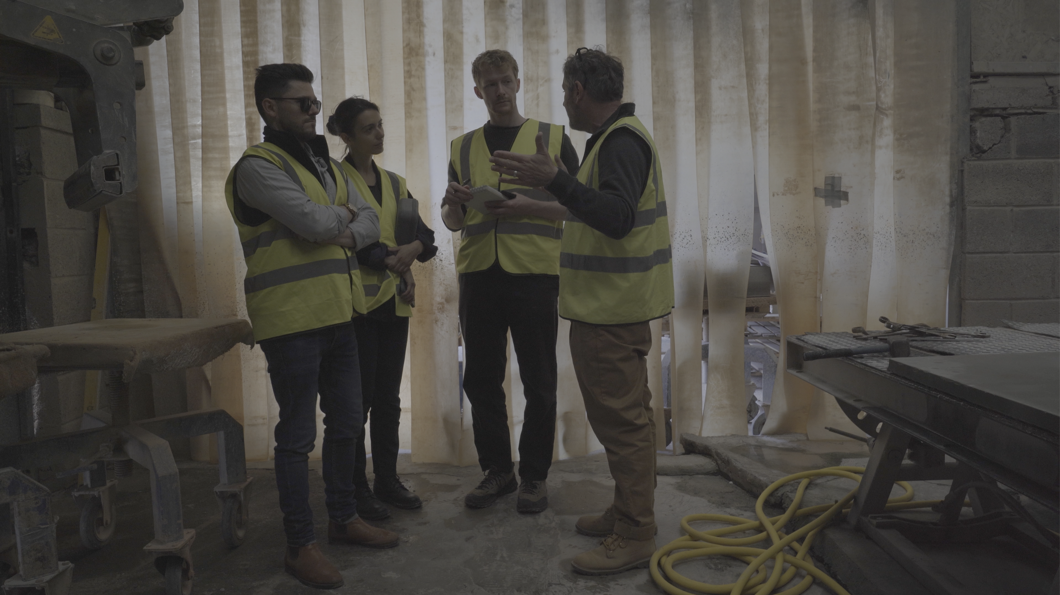
This was one of the questions explored during the event Conversations Mining, which featured as part of the public programme accompanying the exhibition What Lasts Doesn’t Always Hold Shape, held at No. 1 Poultry as part of the research. Discussions considered whether quarries within the same region could work more collaboratively, sharing cutting or processing facilities, pooling knowledge, and responding collectively to projects larger than any one could take on alone. That coordination is where the opportunity sits: building the regional capacity that could let more quarries supply a new town, together.
For local authorities and development corporations, material mapping could become a genuine planning tool, overlaying quarries and other productive landscapes against future housing, infrastructure and transport to reveal where regional collaboration and early procurement signals would have the most impact. For architects, it suggests material mapping belongs in site analysis, not at the end of the design stage in the specification process.
This map is a first exercise - proof that proximity exists at a scale worth taking into consideration at a strategic level, and an invitation to the research that should follow: into capacity, investment incentives, and the regional collaboration that could turn nearby stone into a building block for how these places grow.”
The full research is available at: ukstones.co.uk