Surveying buildings with drones course on 29-30 November

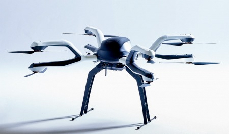
Surveys using roped access and cherry pickers could become a thing of the past if Coptrz, a company that aims to sell drones to the construction sector, convinces people to use drones instead – and it (or someone else) surely will.
Coptrz is running what it believes is the UK's first ever workshop for using Pix4D software photogrammetry mapping and modelling solution on drones for building surveys. The two-day course is being held on Tuesday-Wednesday 29-30 November, 9am - 5.30pm each day. It will take place at the Mercure Hotel in Hayes, West London, although Coptrz founder Steve Coulson says he expects it to attract people from across Europe. Places are £750 for the two days, which includes lunch and refreshments.
Learning how to get the most from the software will take up a large percentage of the workshop time. On completion of the course Pix4D accreditation certificates will be issued.
Coptrz promises a lively delivery style from its speakers, several of whom have worked directly with Pix4D in a professional capacity.
All participants can look forward to an expansion of their Pix4D skill set with practicalities specific to the construction sector, as well as some insights into the wider drone industry. Coptrz intends that the true capabilities of Pix4D photogrammetry software will be revealed.
The workshop will start with how to plan a project and go all the way through to the evaluation of the data gathered. Construction model development by hand, drone and plane will be covered, along with an advanced level of georeferenced map creation.
To book a place on the course, visit the website at the address below.